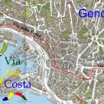
(GPS) 07 Varazze-Genova
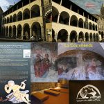
(Google Earth) 07 Varazze-GE Commenda
7°stage:Varazze-Genova/Commenda 35,200km-Time: 9h00-Difficulty: medium
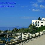
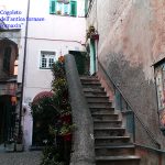
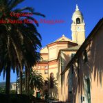
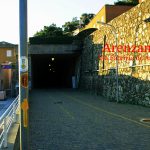
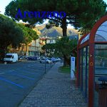
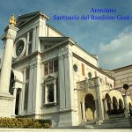
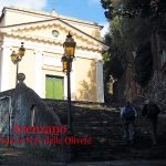
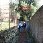
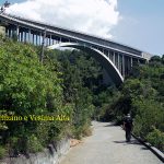
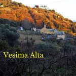
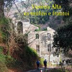
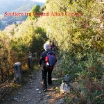
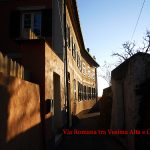
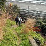
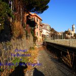
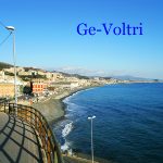
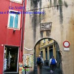
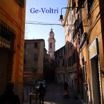
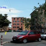
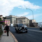
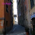
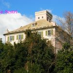
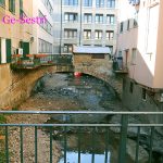
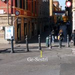
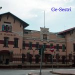
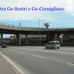
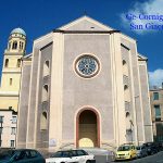
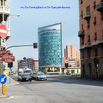
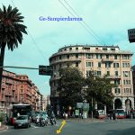
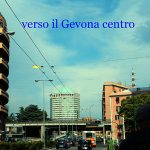
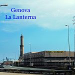
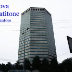
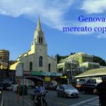
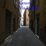
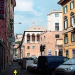
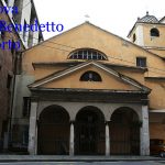
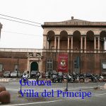
We start from Cathedral Square, it continues at “Via Campana”, it crosses “Viale Nazioni Unite”, it turns to the right and immediately later to the left in the pedestrian area “Via Gavarone”, reached the end it continues in “Via C. Battisti”, then in “Via Bruzzone”, to the roundabout it continues on the right and arrives on the “Lungomare Europa” (about 4.3 km on the ex railway), in one hour we are in Cogoleto (fountains along the way). Once in Cogoleto, we cross the bridge over the river, just after cross the “Via Aurelia” and we get into “Via D.Giusto” in part gallery, then in “via Arresta Interna” along the railway. At the end, we turn right and enter in “Via Arresta sul Lungomare”, continuing towards the east and continue into “Via L.Parenti”. We enter the old town in “Via Parasco”, we continue in “via Mazzini”, then “Via C. Colombo”, “Via Rati” and arrive in front of the church S. Maria Maggiore, immediately after that, we take the “Via Aurelia” on the left sidewalk and after 1.3 km we cross the road and through a staircase come to the sport-fields of Cogoleto. We continue straight by “Via del Mare” without taking account of the bar to get to the “Via Fabrizio De Andrè” (road-sign: yellow arrow Mare-Monti), we arrive at the port of Arenzano, crossing the Via Aurelia and continue to the streets of the old railway, in “Via D.Bocca” (to arrive at the Santuario del Bambin Gesù and the hospitality it turns to the left to the height of “Piazza D.Chiossone”, it continues in “Via E. Ghiglini” in light slope, then in “Via Capitan Romeo” and arrived in “Via Raffaello Sanzio” turn to the right and immediately later to the left in Via Caesare Battisti) and after on the left in “via Olivette”, we cross the cover of the stream and go uphill to reach up stairs the “Santuario delle Olivette”. We continue on the right of the church, (road-sign: yellow arrow M-M), on paved road and we are on the “Via Romana di Levante”. At No. 26 in that road we go down and at No. 5 turn right into “Via Ronchetto”, then turn left in “Via Terra Rossa” and after several twists and turns uphills, we arrive at a stopping place of the bus. Here we pass over the motorway tunnels and walk along on the right, pass the restaurant “Le Rose” and reached a crossroads, turn right down strongly on dirt road. We go through a tunnel of the highway, (off-road sign: MC Don Bosco) and going on we are always in ”Via Terrarossa”. Between the two carriageways of the motorway we pass an open iron bar and at the fork we turn right into a steep descent on concrete road and after several turns pass under the highway bridges. At the fork we turn right into slight slope on asphalt, then gravel, passing on the bridge of a stream with a cemented cascade and continue into “Via Vesima“ to reach the village of Vesima Alta. We pass the village and near the beautiful portal we take the left path and continue uphill dirt road in the woods, we are in “Via Gainotti”; we walk again under the highway, turn right and climb up a staircase on the right that leads us on the paved road, we are in “Via Romana di Voltri” in the little village of Crevari, we pass a bridge and two hairpin turns uphill, turn right down to U and turn again U towards the east, on a small street between gardens, still on “Via Romana di Voltri”. We pass a beautiful villa overlooking the sea, then climb a short staircase and still walking parallel to the highway between the gardens, in “Via Nuova di Crevari”, we will pass through a grove, a small stream and up the concrete stairs downhill we pass under tha highway, then we turn left on flat road to get under the church of Sant’ Eugenio of Crevari, in “Via Romana di Voltri”. We continue on asphalt road and shortly afterwards, warning on a light pole, we start to follow the road- sign: red X. We descend a staircase on the right, then a straight path and another staircase that leads us on the main road, we continue downhill to reach another staircase on the right that leads us on the Via Aurelia: we are in Voltri. We pass the bridge over the river and turn left down ”Santa Limbania”, we arrive in the little square with the same name, then we walk on the right under the old arch and enter “ Via Cerusa” that runs through all. We pass in ”Piazza G.Saredo, in “Via E. Saredo”, in Via E. Guala” to the right of the Church SS. Nicolò ed Erasmo, (turning to the left in “Via Santuario delle Grazie” we arrive to the hospitality), we continue in “Via E. Cialdini”, turn right on the bank of the river, cross the bridge and turn left in “Via Lemerle”, immediately after we turn right into “Via S. Ambrogio di Voltri, “Via Chiaramone”(fountain) and downhill we reach the “Via Aurelia”.Then we cross the bridge over the railway and, walking on the sidewalk on left, we take again “Via Voltri” which becomes “Via Pra” and we go on for a long distance. We go over a small stream and reach ” Piazza C. Laura” will continue on the left in “Via Sapello”; we cross the old part of Pra and we reach the tree-lined square “G.Bignami”, then we continue in ”Via C. Airaghi”, cross the stream S. Pietro, “Via A.Fusinato”, ” Piazza A. Fusinato”, ”Piazza A. Sciesa, ” Via G.Sciesa” (fountains), “Via G.Ratto”, and at the bottom, we turn on the right into “Via Ferriere di Pra”, then left in “Via Pra” to reach Pegli. We are now in “Via Pegli” on the pavement on the left and arrived in “Piazza G. della Chiesa” we enter the old way in “Via C. Forte”, cross the street and enter “Piazza Porticciolo”, walk along the seafront of Pegli. We cross the bridge, then continue ”Via Ronchi”; at the fork we continue on the left in “Via S. Pacoret”, we pass under the railway and continue “Via Moltedo di Pegli”, then “Via Merano”, and reached a sharp bend go straight on in ”Via Sestri” in the old part. We pass the Basilica di N.S. dell’Assunta in Sestri Ponente, cross the pedestrian zone, “Via Giotto”, “Via A. Siffredi”, then we pass the rotunda and continue until the railway station of Cornigliano, we take “Via Cornigliano”, “Via G. Ansaldo”, pass the “bridge of Cornigliano”, “Via R. Peragostini”, then straight on into “Via E. Degola”, pass under the railway bridge and turn right into ”Via P. Reti” We go past the train station of Sampierdarena, we arrive in “Via N. Montano” square, we cross it, then continue under the arcades of “Via A. Cantore” that leads to “Matitone“ we pass it and after crossing the street on the left we reach down the arcades of “Via Milano”; continue on the side wall to arrive at the railway underpass; forget it and continue turning right in “Via Fassolo”, between the railway and the covered Market; continue in “Via San Benedetto” toward the Palazzo del Principe (take the side wall on the left); reach “Piazza del Principe” and “Via A Doria”; cross it and after about 100 m turn right in “Salita San Paolo” and reach the “ Commenda”, we are at Genova.
N.B. The path sometimes coincides with the Mare-Monti marked with M and a yellow arrow: to follow only yellow arrow with two-faced.
Hospitality:
Arenzano: “Suore Pietrine Villa Sacro Cuore” (R) – Via Cesare Battisti, 4 – notice is necessary – Credential obligatory – apply Mother Elena tel +039010 913 161 pietrine@hotmail.it – 19 beds – bathroom with shower – kitchen use – the price for pilgrims equipped with Credential is 25€.
Genova: “Convento di San Barnaba” (R) – Piazza di San Barbara, 29 – phone +39 010 27 22 829 – email: pgv@cappucciniliguri.it – notice is necessary at least two days before – Credential obligatory – max capacity. 20 persons – if the premises were already occupied you can not guarantee hospitality – to be provided with mat and sleeping bag – The two rooms available are those of the bivouac ,where to sleep on the floor, with bathrooms, kitchenette and air conditioner for heating – suitable offer.
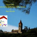
GE-Voltri: “Suore Itineranti di Villa Galliera” (R) – notice is necessary – Credential obligatory – apply the Mother Superior – tel. 0106136501 mob. +0393397193880 – 5 beds – including food – to be provided with sleeping bag – bathoom with shower – laundry – suitable offer.
Distances and reference marks:
Varazze- inizio ex ferrovia km1,600
inizio ex ferrovia- Cogoleto km4,250
Cogoleto- S.Maria Maggiore km1,600
S. Maria Maggiore- Rio Negrone km1,400
Rio Negrone- porto di Arenzano ex ferrovia km2,000
porto di Arenzano ex ferrovia- incrocio Via Buonarroti km0,679
incrocio Via Buonarroti- Via Terrarossa km1,900
Via Terrarossa- zona viadotti autostradali km 1,400
zona viadotti autostradali- Vesima Alta km1,200
Vesima Alta- Crevari km2,100
Crevari- Voltri S.Limbania km1,100
Voltri S.Limbania- incrocio ospitale Santuario delle Grazie km0,590
incrocio ospitale Santuario delle Grazie- torrente Branega km2,300
torrente Branega- Via Ferriere di Pra km1,500
Via Ferriere di Pra- P.za G. della Chiesa Pegli km1,500
P.za G. della Chiesa Pegli- Via Pacoret km1,000
Via Pacoret- Via Sestri km1,700
Via Sestri- Ponte di Cornigliano km3,450
Ponte di Cornigliano- Via A.Cantore km0,931
Via A.Cantore- Matitone Via Milano km1,600
Matitone Via Milano- Commenda km1,400
Totali 35,200
Please report possible problems or proposals of improvement of the itinerary, writing to calsilvdc@gmail.com – Thanks for your help.
The 12 proposed stages and described were been in the years by the authors that decline every responsibility around possible changes on the territory that can alter how much it has described.
Questo articolo è disponibile anche in: Italian Spanish French

