(GPS) 04 Andora-Loano
(Google Earth) 04 Andora-Loano
4° Stage: Andora – Loano: 29,300km – Time: 7h30 – Difficulty: medium
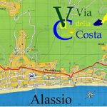
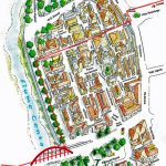
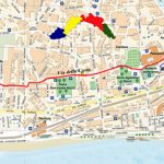
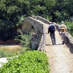
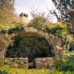
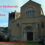
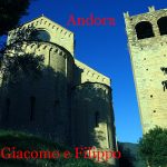
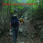
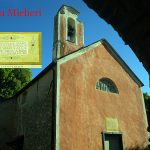
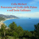
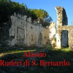
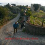
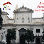
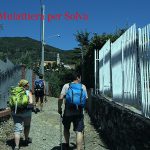
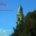
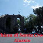
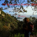
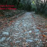
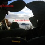
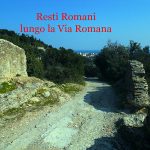
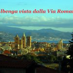
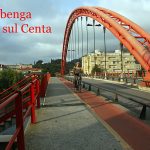
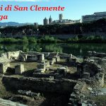
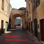
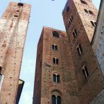
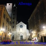
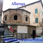
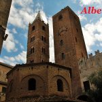
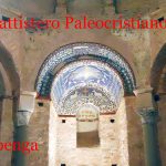
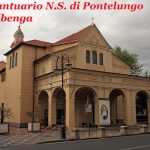
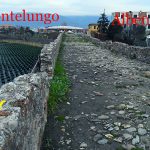
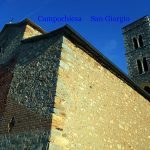
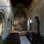
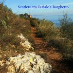
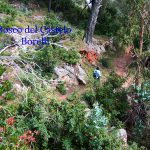
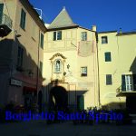
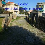
The route from the church of “S. Giovanni” continues with road sign: red rumble, we cross the road in the direction of the medieval bridge. After exceeding it, we turn right and then immediately left, crossing the paved road, we continue under the overpass. The road goes uphill, turning right, passing under the Autostrada dei Fiori, which borders on the left, then we turn right climbing up a path along which we can admire a medieval source in excellent condition. Still following the road sign: red rumble, we reach a parking and making a quick detour to the right, we can visit the Romanesque-Gothic Church of XIII century of SS. Giacomo e Filippo. From the parking area we take on the left a dirty path and skirting a stream, we walk uphill to reach the paved road to “Colla Micheri”. We cross the street to set off uphill the cobblestone path that reaches Colla Micheri: ancient nucleus where Pope Pius VII had to stop on February 14, year 1814 in the little Church of S. Sebastiano. We continue, past the small village, in “Via S.Bernardo”; on the right we can see the structure of an old windmill and immediately right again (at the sign signaling pathways), we turn left onto the dirt road: road sign: empty red square, the direction is “Ruderi di S.Bernardo”, (note: deviations on the left that we avoid the ridges uphill). After reached the ruins, we turn right and go downhill to reach Alassio: road sign: two red lines. The cobbled descent, is a steep medieval route through which we arrive at Alassio in “Via Solferino”, in the end we turn right into “Via Neghelli”.Arrived to the fork, we continue in “Via Neghelli”, crossing the road, and after a short distance we turn right passing under the railway through a walkway. Turn left in “Via G. Mameli”, after 150meters turn left on the stepped bridge that overpass the railway; turn right downward in “Via Michelangelo Buonarroti” (fountain) and then in “Via Adelasia” skirting the railway; the road ends at a barrier; the walkway is accessible by a rotary; turn rigth into under-passing the railway, turn left in “Via Aurelia”; then turn left again, under the railway; turn right on the flight of steps upward; after reaching the road cross it to take the “ Via Modigliani-Mulattiera per Solva”: we are in “Regione Ciazze”, which immadiately is a steep staircase then a slabbed path that takes us to the square of the church in Solva: (road sign: two empty red square). (fountain). We walk downhill on asphalt to reach the church of ” S.Croce” (XI century), which offers a breathtaking view. We continue, passing the arch, on the ”Via Julia Augusta” (13 years a.C. and here we find one of the best preserved sections). We can admire the remains of villas, tombs and original pavement (road-sign: one red empty square). Along this stretch, we pass in front of the little church of “St. Anna” (X century), enjoying a wonderful view halfway up the sea, overlooking the Gallinara island that was an ancient place of a Benedictine convent. Then we arrive to Albenga, going downhill in “Salita Madonna di Fatima”. We continue in “Via S. Calocero”, and turn to the left at ”Via Ruffini”, we cross the bridge over the “river Centa”, and we immediately turn later to left through a brief stairway we continue on the long river in direction north, later around 150 meters we turn to rigtht and enter the old city through Porta Arroscia; we continue rights in “Via Medaglie D’Oro”; (we turn right in “Via Ricci ” to visit the Cathedral of St. Michele Arcangelo of XI-XIV century and the Baptistery of the IV century), then continue and go out of Porta Molino. We walk along “Via Ponte Lungo” to reach and cross the medioeval bridge of the same name. We turn left in ”Via Collodi”, pass the ”Via Aurelia” (very carefully) and go straight for a short distance, then turn right on the way to” Campochiesa”; we are on the ancient road “Via Romana”, (hospitality) even if this road is paved. It is necessary walking carefully on the road side. When we reach the fork indicated by a pillar of the Madonna, we keep the right for “Prati del Vescovo” (hospitality), always on the “Via Romana” we reach the church of San Giorgio (XIII century) with important fresco cycles inside. We continue to the traffic light and go straight from there to enter Ceriale. The stretch can be followed on a pavement to “Via Pontetto”, then we go straight in “Via Maixe” (fountain). At the fork we turn right into “Via A. Ascoli” and immediately after we turn left down the paving alley uphill “Via Vecchia del Cimitero”. Then we turn left in “Via Cadanzo” (fountain) and then in “Via Panoramica”. At the Junction we turn to the right following the road-signs: empty red square. Once arrived near a pink house, we leave the asphalt by turning on the left to enter onto dirt road, that gently rises for about 750m., then turn left on a gravel road that goes uphill with hairpin bends for approximately 550 m (so it allows to go beyond Castello Borelli and it pass Capo Santo Spirito sorrounded by lush mediterranean vegetation, with rare cork oak trees and great views); we continue turning right on a path well marked that descends for about 400m., at the fork we turn right on path on level ground; arrived near the television antenna turn left downhill on short path bumpy; reached the staircase continue straight , past the Enel cabin in “Via G. Pascoli” we continue in “Via Marexiana” to arrive at “Piazza dell’Indipendenza” at Borghetto Santo Spirito and to continue rights in “Via Dante” and reached the river “Varatella”, we turn right to cross it on the bridge. We continue along “Via Ponti” to reach the ruins of the Roman bridge “The Pontasso”. We continue on “Via Pontasso”, turn left in “Via Puccini”. Once at the bowling club, we turn right, then after 50m left and we will reach the “rotunda” andl we come to the modern church of S. Pio X. We take on the right “Via Ponchielli”,” Via Carducci”, pass the “Institute S. Giuseppe delle Suore della Carità dell’Immacolata Concezione” of Ivrea. We turn left to “Via Petrarca”, cross the fork and continue straight for a short pedestrian street, ”Via Madre Rubatto” along the cemetery. We Turn to left in “Via G. Matteotti”, then turn to right in “Via Azzurri d’Italia” and follow the signs to ”Monte Carmelo”. Once at the chapel of ”Maria della Consolazione”, we turn left into an alley to reach the Roman bridge, we cross it, turn right, then immediately left to go up to the seventeenth century Convento dei Padri Carmelitani. We are at Loano.
Variant Via Julia Augusta 2.3 km that bypasses the landslide.
(*) Arrived at the white gate with civic number 1, take on the left “Variant Via Julia Augusta 2.5 km road-signs: blue ball “, the paved road in steep slope with turns, after about 1km leave the asphalt and take the well-marked trail and well maintained on the left; after about 1.3km downhill recover Via Julia Augusta towards Albenga.
Hospitality:
Alassio: Parish “Sant’Ambrogio” (R) – notice is necessary – Credential obligatory – apply Don Angelo De Canis – tel. +039018264057 – to be provided with mat and sleeping bag – bathroom with shower – cooking possibilities – free offer.
Albenga: Hospital Via della Costa (L) – Regione Rollo 16b Via Romana – notice is necessary – Credential obligatory – apply Mr Daniele mobil +39345 8891097 – +393403734270 – gabriella_caratti@libero.it – is available a caravan with 6 beds – to be provided with sleeping bag – bathroom with shower – washing machine – relax in the garden – free offer – dinner € 10 – possibility shuttle service from and for the historic town of Albenga.
Loano: B & B “Simotta” Piazza Valerga, 8 – notice is necessary – Credential obligatory – apply Mrs. Paola mobil +0393427534926 and Mr. Carlo mobil +0393387059825 – 2 double rooms with the possibility of one rollaway, supplied with sheets, towels and bath products – including breakfast – the price for pilgrims equipped with credential is 50€ for a double + 10€ for a rollaway – duringt July, August and Christmas holidays added to the price of 20€ double – closed from 10 January to 28 February.
Distances and reference marks:
San Giovanni Andora- Santi Giacomo e Filippo km 1,400
Santi Giacomo e Filippo-Colla Micheri km 1,000
Colla Micheri-ruderi di San Bernardo km 4,400
ruderi di San Bernardo-via Solferino Alassio km 1,300
via Solferino Alassio -Sant’ Ambrogio km 1,200
Alassio Sant’Ambrogio- sotto passo Alassio km 0,879
sotto passo Alassio- Solva km 0,642
Solva – Santa Croce km 1,200
Santa Croce –Via San Calocero (via romana) km 4,500
Via San Calocero – Porta Molino km 0,905
Porta Molino- Pontelungo km 0,573
Pontasso- San Giorgio km 3,000
San Giorgio- cimitero Ceriale km 2,800
Cimitero Ceriale- Gabina Enel in Borghetto km 1,800
Gabina Enel in Borghetto – Pontasso km 1,300
Pontasso-PioX km 0,601
Pio X- Il Carmelo km 1,800
Totali km 29,300
Please report possible problems or proposals of improvement of the itinerary, writing to calsilvdc@gmail.com – Thanks for your help.
The 12 proposed stages and described were been in the years by the authors that decline every responsibility around possible changes on the territory that can alter how much it has described.
- OLYMPUS DIGITAL CAMERA
Questo articolo è disponibile anche in: Italian Spanish French


